Rank the corridor before you walk it.
A screening pass that compares ground surfaces along your buried pipe and hands back a ranked list of segments to send a geotech crew to first. Early access, built with pilot partners.
- GSD
- VHR / ≤0.5 m
- Cadence
- annual
- Platform
- VHR satellite / aerial
- Spectral
- panchromatic
How the geotech list gets made
You own the geohazard program for a line that crosses more slopes and creeks than anyone on the team can look at in one year. The right-of-way patrol reports what it saw from the truck or the air. The consultant's walkover covers the sites already on the register. A landowner calls about a wet spot that turns out to be nothing, and a season later a slope you had not flagged has dropped over the pipe.
So every year the same decision gets made on partial information: which segments get a geotech crew, and which wait. The list comes from patrol notes, last year's register and judgement. Walking or flying the whole corridor to eyeball movement is slow, and what you get back is an opinion on every stretch, most of them quiet. The crews are few and the field season is short.
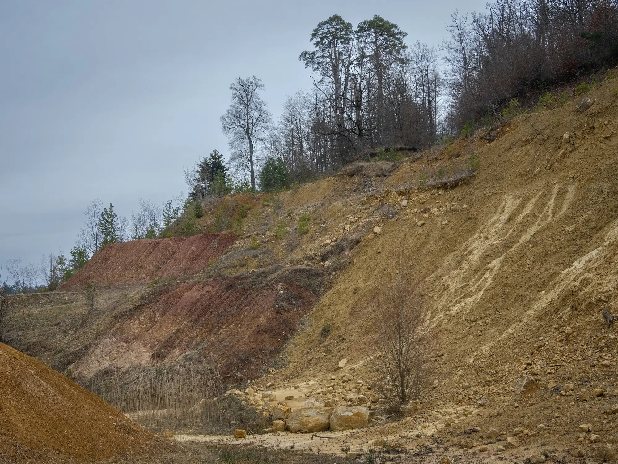
What you need first is an order. Geohazard Screening differences two ground surfaces of the corridor and ranks the segments by how much the elevation changed, so the crews go to the stretches that moved before they go to the ones that merely look steep. It adds to your patrol and your assessment. It replaces neither.
What comes back
This is an early-access offer, so the list below is what a pilot delivers, not a finished monitoring product. Each corridor is scoped with you first.
2.1Segment ranking
CSV by chainage
Corridor segments ordered by measured elevation change, tied to your chainage reference so it can be loaded against the risk register. Delivered once a year for the pilot corridor.
2.2Elevation difference layer
map layer
A surface-change layer for the whole corridor, pass to pass, so you can see where in a segment the ground moved and not only that it did. It opens in your GIS next to the centerline.
2.3Flagged candidates
map layer and list
Spots that show the signature of slope creep or a washout over the pipe, marked for follow-up. A flag is a place to look, and the crew decides what it is.
2.4What the first year holds
The first pass sets the baseline. Differencing needs a second pass, so the first ranked list arrives after the second capture of your corridor.
How it works
3.1Send the corridor
The centerline and your chainage reference, plus the right-of-way boundary. If you already hold an earlier elevation surface of the corridor, say so.
3.2Stereo capture
Very high resolution stereo imagery is collected over the corridor in a clear-sky window.
3.3Difference the surfaces
The new surface is compared with the earlier one, and elevation change is measured along the corridor.
3.4Ranked list
Segments are ranked by change, and the list, the change layer and the flagged candidates come back to you ahead of your annual geohazard review.
Where it fits
Run it ahead of the annual geohazard review. The ranked list tells you which segments to put in front of the geotech crew first, and the flags give them a place to start on the ground. The register, the assessment and the decision to dig stay with your team.
Limits
These are the ways a stereo screening pass can mislead you.
Limit 01
Resolution sets the floor
The ground sample distance is 0.5 m or finer, and that sets the smallest feature the surfaces can show. Small, localised creep may fall below it, and a flat result does not mean a quiet slope.
Limit 02
It sees the surface
Differencing measures the top of whatever is there, including trees and brush, not bare ground. Growth between passes can read as change, and dense canopy can hide the ground beneath it.
Limit 03
Clear sky decides the pass
Stereo capture needs clear conditions. A blocked pass slips to the next window, and the list can arrive late.
Limit 04
Two passes before a ranking
The first pass sets the baseline. No ranking exists until a second pass can be differenced against it.
Limit 05
A flag is a candidate
A flagged segment is a reason to send a crew, not a finding. Only a field assessment says what is happening to the slope or the pipe.
Limit 06
Annual, not continuous
One pass a year shows what moved between passes. It does not warn you about a slope as it fails.
Who it's for
- Integrity engineers who own geohazard ranking on a buried-pipe corridor and have to decide where geotech time goes.
- Teams that want a measured order for the annual review instead of patrol notes alone.
- Operators willing to work with pilot partners on an early offer.
Who it's not for
- Teams looking to replace the geotechnical assessment. This ranks segments, it does not assess them.
- Continuous or real-time slope watch. The cadence is annual and depends on clear sky.
- Predictions of when a slope will fail. This reports measured change between passes.
- Pipe condition, such as wall loss or coating. That is a different inspection.
Questions from integrity teams
Does this replace a geotech survey?
No. It screens and ranks. A flagged segment still needs a field assessment.
What if we have no earlier surface to compare against?
The first pass sets the baseline, and differencing starts with the second. If you already hold an earlier surface of the corridor, tell us when you scope it.
Does cloud cover affect it?
Yes. Stereo capture needs clear conditions, and a blocked pass slips to the next window.
What is the smallest movement it can resolve?
It is limited by the 0.5 m or finer ground sample distance and by the quality of the surfaces. Small, localised creep may not register.
Does it work under tree cover?
Only where the surface shows through. The surfaces include vegetation, so heavy canopy hides the ground and can read as change.
Is this available now?
It is an early-access offer. We are scoping corridors with pilot partners, so the first step is a conversation about yours.
How do the results fit our risk register?
Segments are tied to your chainage reference, and the list comes as a CSV you can load against the register. What goes on the register is your call.
Who owns the data we receive?
Use and ownership terms for the delivered layers are agreed in the pilot contract before work starts.
How is it priced?
There is no price list. Each corridor is scoped with you first, and what that scope covers is agreed before any work starts.
Tell us about your corridor.
Send the line and the chainage reference and we will talk through what a screening pass would give you.